Maps
Maps are geographic storage tools that contain layers for the area and purpose you want to work with. Maps created using GIS can be easily managed, shared, and the application can be made and made available to anyone at any time from anywhere.
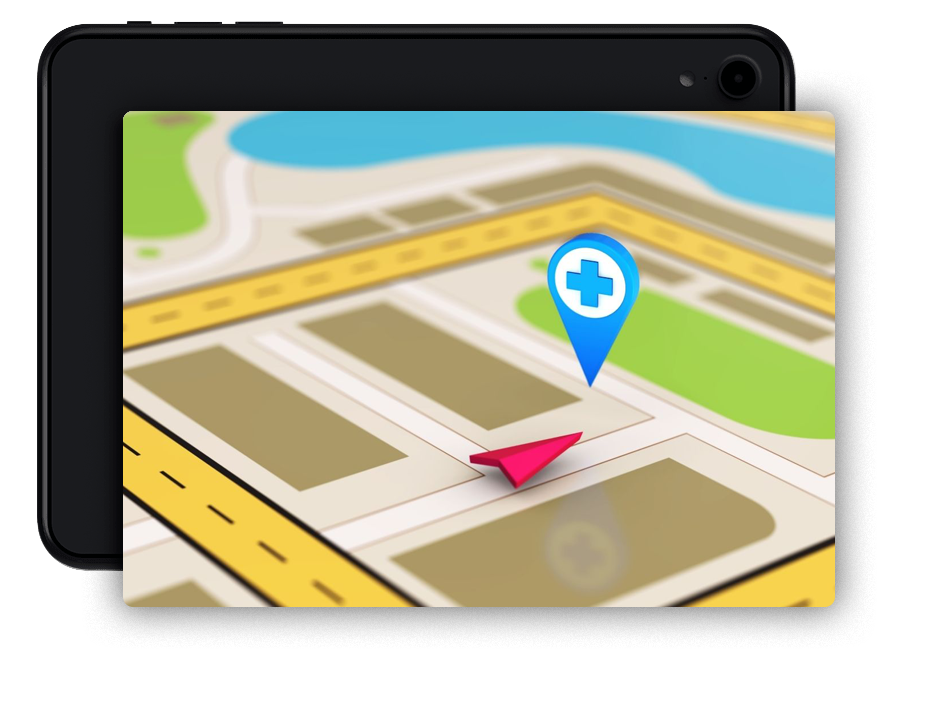
Data
GIS can combine multiple layers of data using spatial information. It produces precise information using the geographical components of the data. GIS data; Includes photos, details, base maps and tables.
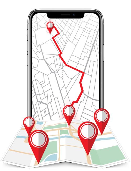
Analysis
With spatial analysis, you can determine the suitability and capability of your current situation and make predictions for possible events. In this way, you can develop new decision-making mechanisms with understandings and interpretations and give different perspectives to the events.
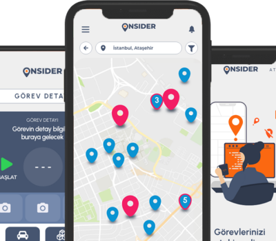
Apps
You can make GIS available to everyone with user-oriented applications. Applications created anytime, anywhere; It can be used on smartphones, tablets, desktop and web browsers.
Maps
Maps are geographic storage tools that contain layers for the area and purpose you want to work with. Maps created using GIS can be easily managed, shared, and the application can be made and made available to anyone at any time from anywhere.
Data
GIS can combine multiple layers of data using spatial information. It produces precise information using the geographical components of the data. GIS data; Includes photos, details, base maps and tables.
Analysis
With spatial analysis, you can determine the suitability and capability of your current situation and make predictions for possible events. In this way, you can develop new decision-making mechanisms with understandings and interpretations and give different perspectives to the events.
Apps
You can make GIS available to everyone with user-oriented applications. Applications created anytime, anywhere; It can be used on smartphones, tablets, desktop and web browsers.